Apple has been putting major efforts into improving its mapping app that failed to compete with Google Maps ever since its launch in 2012.
Apple's (NASDAQ: Apple [AAPL]) first attempt to launch Apple Maps didn't work out quite as expected. Users have reportedly complained about multiple bugs of the service such as giving wrong addresses for airports, as the one in Washington D.C., mistaking a supermarket in Florida for a hospital or not displaying Jerusalem as the capital of Israel and many more. TechCrunch reported that after the initial launch of Maps, Apple admitted that the app required much more attention than they first anticipated.
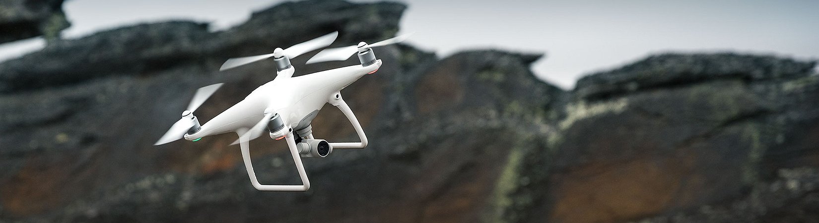
Generally, the biggest challenge of developing a mapping app is that maps need constant updating and fixing. Google (NASDAQ: Alphabet Class A [GOOGL]) has been traditionally using its Google Maps cars to drive around the neighborhoods and collect info about any changes in the locations. User reports are also part of the updating process. Now, Apple decided to develop this even further. According to Bloomberg's report, the tech giant has already received an approval from the Federal Aviation Administration to use drones to collect geographical data while using drones for commercial purposes is generally prohibited. Apple got a special license to “operate an unmanned aircraft system to conduct data collection, photography, and videography”, they said.
Though it is still not clear whether the company has already made use of drones to collect data or not, as Apple has been quite secretive about the new project. Currently, the company works with thousands of employees in India that are responsible for timely updates of Apple Maps but receiving mapping data from all around the world in real-time was still an issue. And drones could help Apple with that.
"There’s a huge data-quality issue there, and I don’t think we initially appreciated all the kinds of technology we would need to do that on an ongoing basis," said Craig Federighi Apple's senior vice president of software engineering, as reported by Bloomberg.
For now, Apple plans to fly drones that would recognize street signs, track changes on the roads and report which areas are under construction. Everything a drone does is expected to reach Apple's servers faster than its existing minivans equipped with cameras and sensors. Next to that, several other new features will be added to the existing Maps app such as improved car navigation, added Bloomberg.
No official comment from Apple has been received on the matter so far.